Projections#
Kalpa supports two types of projections:
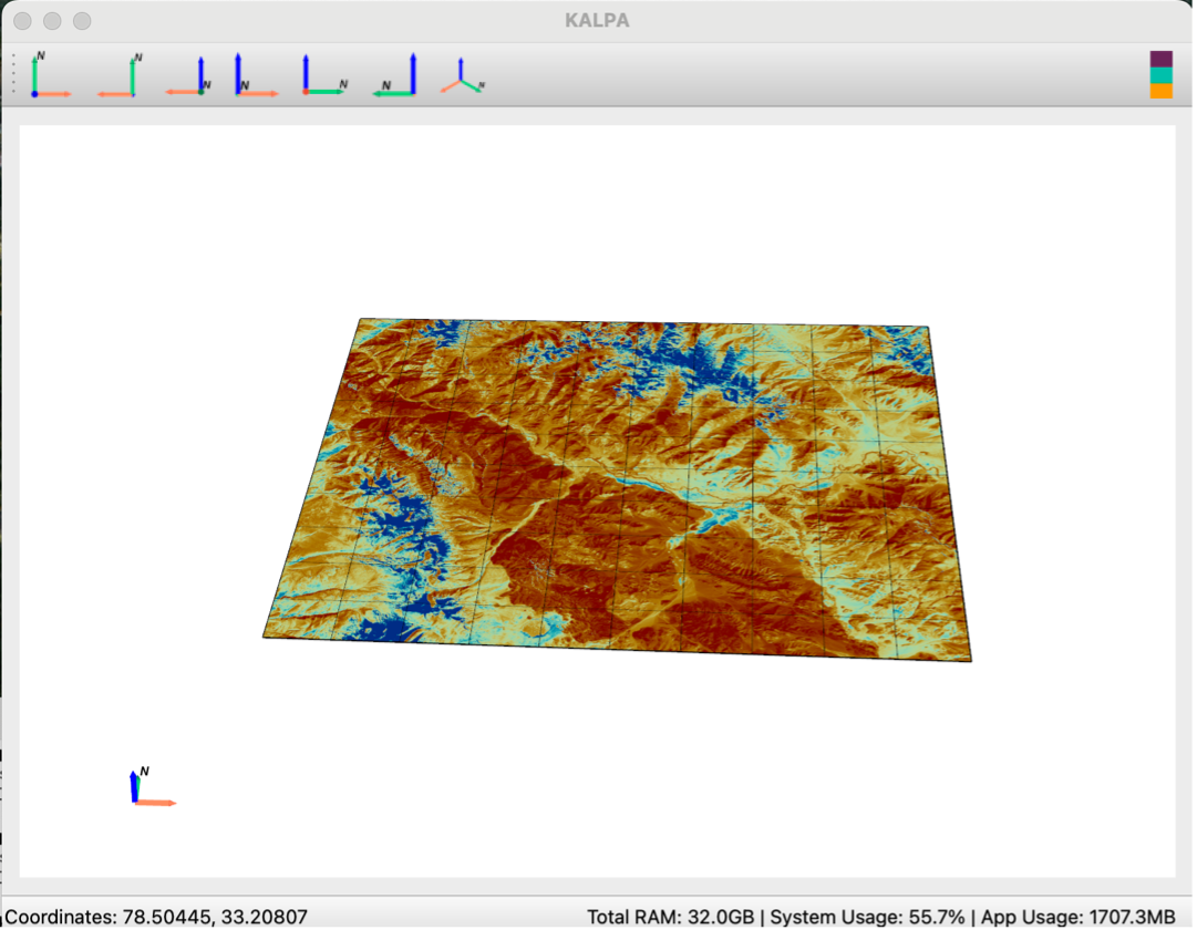
3D Cartesian Projection#
This projection allows you to visualize data on a flat Cartesian plane.
Surface raster and vector data are placed at a reference plane set 6,371,000 meters (the approximate radius of the Earth) from the Earth’s center.
This setup is particularly useful for analyzing global and regional datasets, especially when working with volumetric rasters.
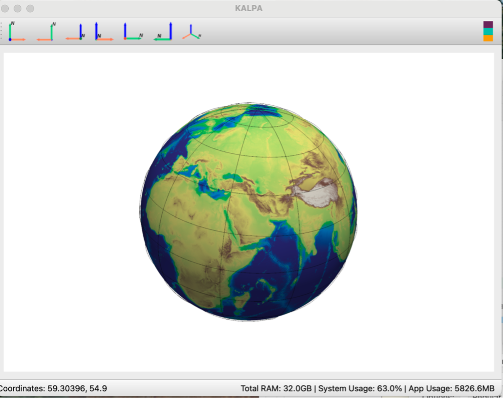
3D Spherical Projection#
This option lets you visualize raster and vector data in a spherical projection.
It is ideal for datasets with a global extent, enabling a more natural representation of Earth’s surface curvature.